Menlo Fire and USGS offer earthquake preparedness class so locals can “Get Ready”
The Menlo Park Fire Protection District and USGS are combining forces to hold a two-hour basic emergency preparedness class on Wed., April 29, from 6:30 to


overcast clouds

clear sky
clear sky
clear sky
The Menlo Park Fire Protection District and USGS are combining forces to hold a two-hour basic emergency preparedness class on Wed., April 29, from 6:30 to

USGS Research Geologist Andrea Foster and Chapman University professor Christopher Kim will be giving a talk entitled The Environmental Legacy of California's Gold Rush on


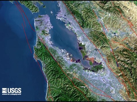
Every once in a while Menlo Park becomes the epicenter of earthquake news. Such is the case with a new California earthquake forecast by the U.S.

The USGS Evening Public Lecture on September 25th at 7:00 pm is titled Ground Shaking in the 1989 Loma Prieta Earthquake: A view from 25 years later. It will

Yesterday at 3:20 an local time, the northern San Francisco Bay Area was struck by the largest earthquake to impact the Bay Area since the 1989

USGS research geologist Tom Holzer will talk about Catastrophic Earthquakes - In a Crowded World at a free public lecture at 7:00 p, on April 24. The
The U.S. Geological Survey is cancelling its March 28th Evening Public Lecture "Preparing for California Climate Change," due to travel restrictions the agency has implemented
The U.S. Geological Survey is releasing an extensive set of topographic maps of Alaska dating back to 1899. This recent addition to the Historical Topographic

Pacific Nearshore Ecosystem Mysteries is the topic of the next free USGS public lecture on Thursday, Sept. 27 at 7:00 pm given by research wildlife biologist

The California Geological Survey is giving away free maps in preparation for the move of their Maps and Publications Sales office at the end of

Please help support InMenlo! Your contribution will help us continue to bring InMenlo to you. Click on the button below to contribute!