And the big storm has arrived on the Peninsula

Update: Thursday, February 13 at 3:45 pm: 2.73″; 12.88″ season-to-date.
The predicted big storm arrived Wednesday night. InMenlo weather watcher Dennis Nugent’s digital gauge recorded 0.51″ up until midnight.
Then this morning there was a break in the rain around 9:00 am, lasting until 10:30 or so. That’s when InMenlo contritubing photographer Robb Most snapped the photo of a rainbow over the Trader Joe’s sign.
 As of 11:00 this morning (2/13), Dennis reported 1.93″ from midnight on. Light sleepers would have heard a number of very heavy downpours. The season-to-date now stands at 12.08″.
Strong winds are forecast through Friday. Gusts could be up to 30 mph.
Impacts for the community include possible ponding on roadways, downed trees or tree limbs, and power outages.
Wet weather tips and resources:
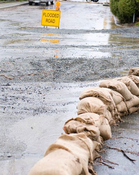
- Use sandbags to avoid water coming into your home.
- Clean leaves and debris from storm drains.
- Prepare for longer commute times.
- Do not drive through flooded roadways.
- Use headlights when driving in the rain.
- Stay informed about the local forecast at National Weather Service Bay Area.
- Sign Up for SMC Alert, San Mateo County’s primary alert and warning system.
- Follow the City of Menlo Park on Facebook, X and Nextdoor.
- For blocked storm drains, sink holes, landslides, levee damage and fallen trees, call Public Works at 650-330-6780 weekdays from 7 a.m.–4 p.m. and at 650-330-6300 after-hours.
- Check the levels of San Francisquito Creek and find additional storm resources, visit menlopark.gov/storms.
Top photo by Robb Most (c) 2025; sandbag photo courtesy of County of San Mateo